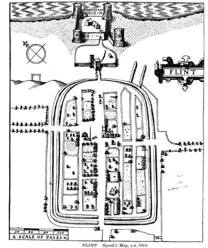
The map of Flint above is taken from the map of Flintshire we showed the other day, as created by John Speed in 1610.
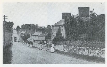
Flint town in many ways has not altered at its core, being laid out as a regular parallelogram and in those days being surrounded by a protective ditch which can still be traced - on the West in Earl Street and Evans Street, on the South in Coleshill Street and Chapel Street and on the East in Swan Street and Duke Street.
Some 'hidden' and interesting features on the map...
Note 'the gallows,' just below the compass where people were regularly executed for relatively minor misdemeanours - which I'll write something about in due course. John Speed hasn't drawn anyone hanging on the gallows, but we do know that Flint gallows were on the marshes and the bodies of 'criminals' were left to rot on the gallows for many weeks at a time.
The castle also has a building at its centre, which is not there any more. Oliver Cromwell may have had something to do with this as following the 1646 siege of Flint Castle during the 'English' Civil War, in 1647 parliament ordered the use of gunpowder to ensure the castle could never be used again. So the castle became the ruin we see today.
As John Taylor, in his tome
Journey Around Wales
put it in 1652, the castle was:
'now almost buried in its own ruins, and the town is so spoiled that it may truly be said of it, that they never had any market (in the memory of man): they have no saddler, tailor, weaver, brewer, baker, butcher, or button-maker; they have not so much as a sign of an alehouse, so that I was doubtful of a lodging'.
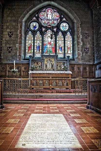
'Ye Olde Flynt Towne Hall' is depicted as a grand building in the town with the 'stocks and pillory' being directly opposite. The old St. Mary's Church is seen in the west-east orientation along Church Street.
Note too the scale of the map is in paces, so if you're ever in Church Street, Flint try and walk the distance from the Town Hall to the Church which is about 120 paces! I did and it's not that far out.
#flintcastle #flinttownhall #johnspeed #history #englishcivilwar